Services
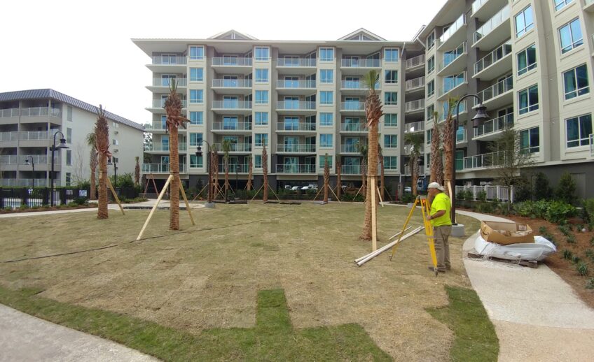
ALTA Survey
An ALTA survey, short for "American Land Title Association" survey, is a detailed type of…

Aerial Drone Survey
A drone survey, also known as an aerial survey or UAV (Unmanned Aerial Vehicle) survey,…
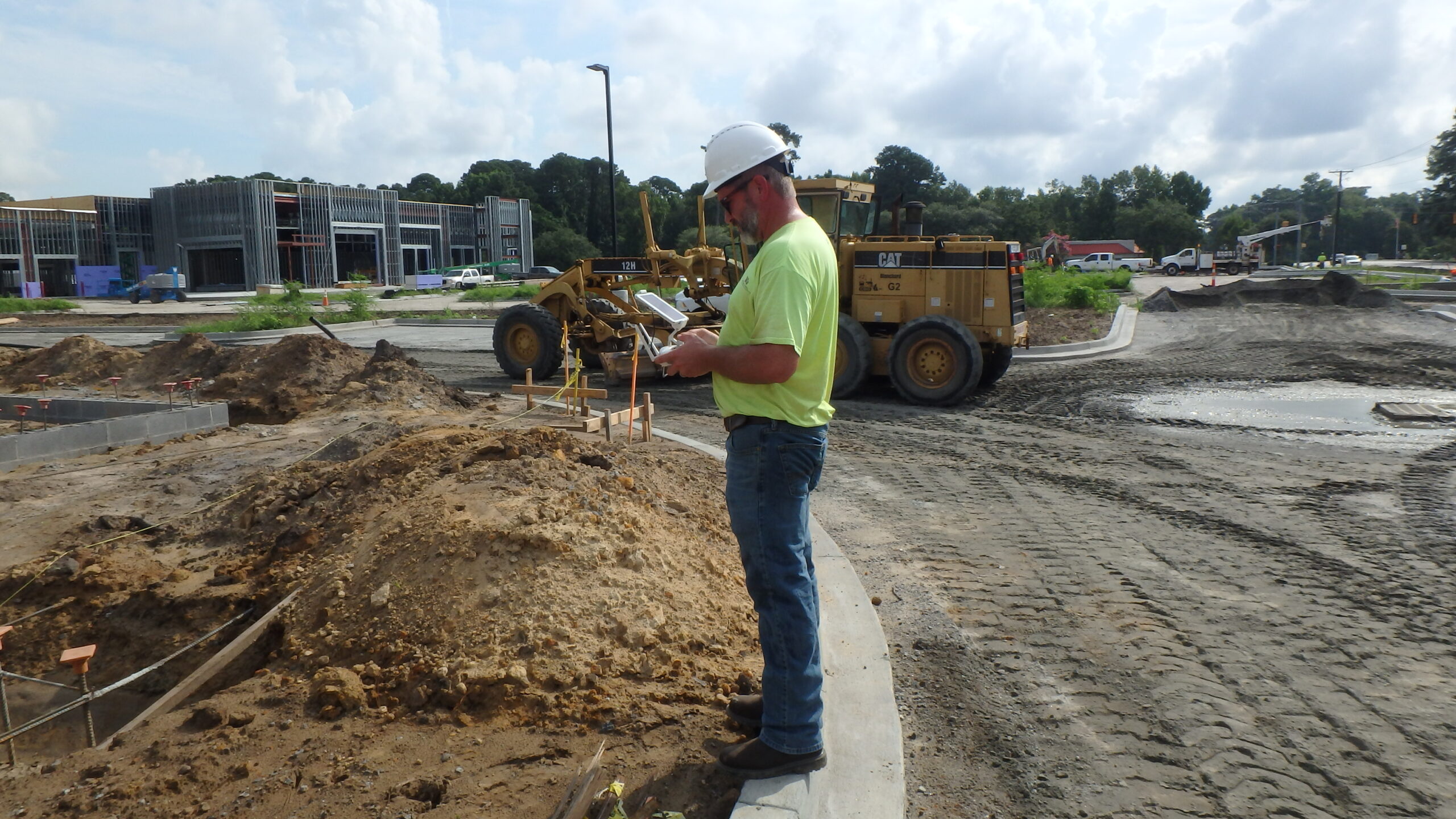
Boundary Survey
A boundary survey provides a detailed examination and mapping of the legal property lines and…
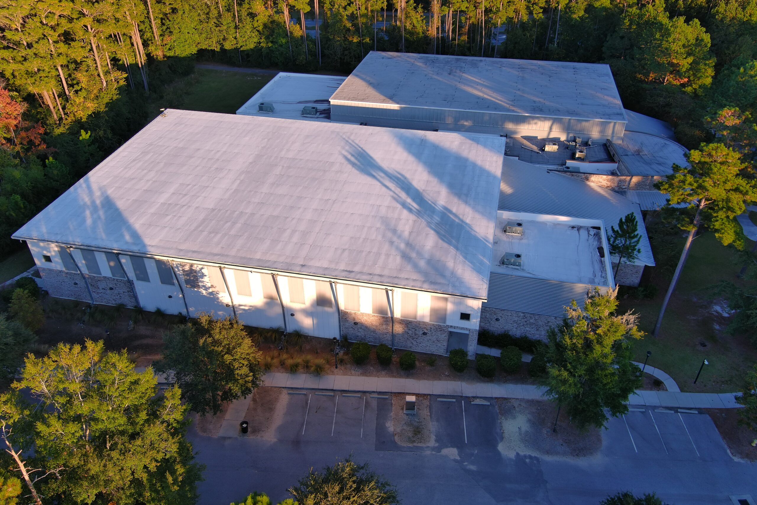
As-Built Survey
An as-built survey documents the physical features, dimensions, and layout of a completed construction…
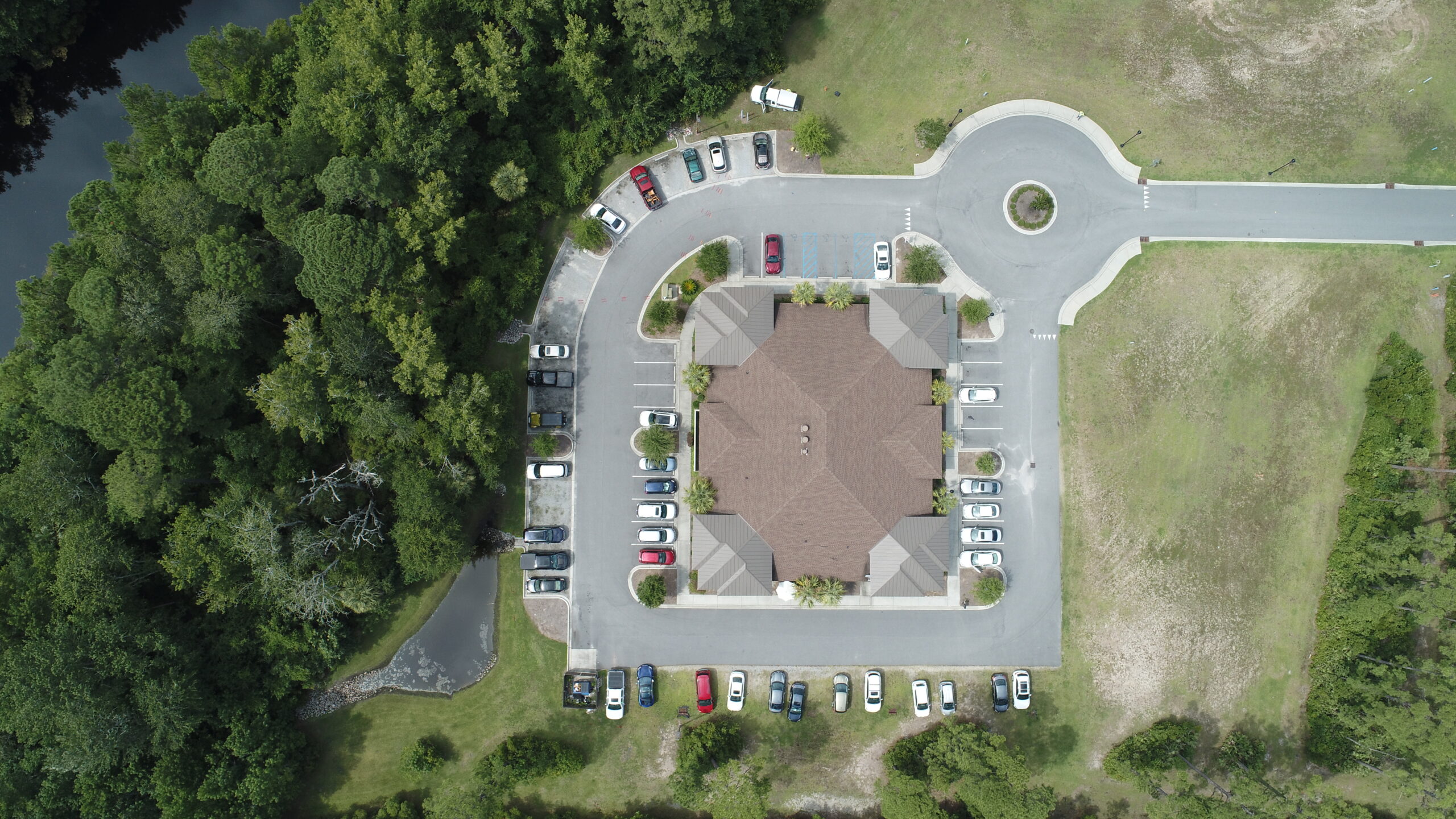
Boundary, As-Built, Tree, and Topographic Survey
A boundary, as-built, tree, and topographic survey is a comprehensive survey of a property's landscape…
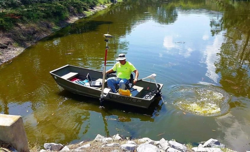
DHEC/OCRM Critical Line Survey
This survey provides delineation and mapping of critical lines as designated by the South Carolina…
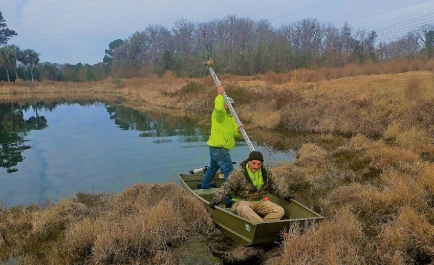
Wetland Delineation Survey
A wetland delineation survey is a specialized assessment conducted by environmental professionals to identify and…
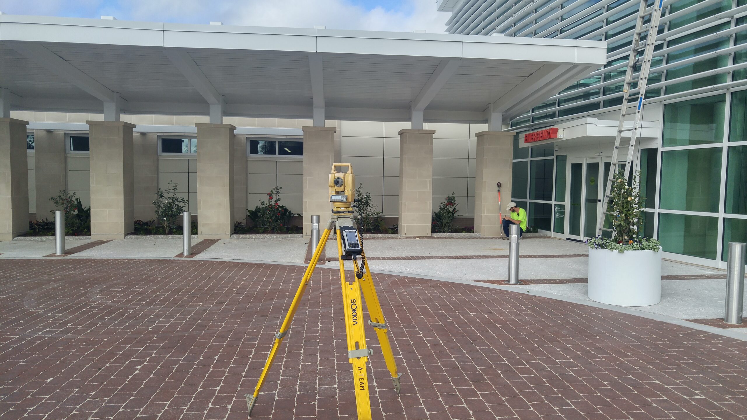
Elevation Certificate Survey
This survey provides an elevation certificate, an official document prepared by a licensed surveyor, engineer,…
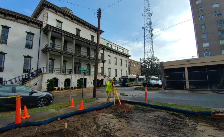
Stake for Survey Review
A stake for review is a type of survey where physical markers (typically wooden stakes…

Foundation/Formboard Survey
A foundation survey documents the location, dimensions, and elevation of a building's foundation.
