What is GPS
Surveying Consultants has been immersed in the surveying services industry for over three decades. This has allowed us to work with different types of technological innovations. It has also given us the opportunity to witness these technologies evolve from their developmental stages. One of these is GPS or the Global Positioning System.
Basically, the GPS is a satellite navigation system used to provide geolocation and time information to a GPS receiver anywhere on or near the Earth. It was initially developed for military use, but now it has extended its reach to the commercial and scientific worlds.
Surveying Consultants utilizes GPS for surveying. If you want to know more about this or other cutting-edge technology that we use for our surveying services…
Call Surveying Consultants at 843-815-3304 Now!
Advantages of Using GPS for Surveying
In this day and age, GPS clearly has many far-reaching applications. However, it is especially useful and relevant to the surveying industry. Here are some of the advantages of using GPS for surveying.
Highly Accurate And Fast Process
Survey projects demand accuracy in the data that we provide. Although this may be achieved using conventional surveying equipment, the use of GPS can help us collect this data at a much faster rate.
A task that once took weeks for an entire team of surveyors to complete can now be done within days, thanks to the constantly progressing technology of Global Positioning Systems.
Time, Cost And Labor Saving Technique
In the days of this company’s origin, we became proficient with conventional surveying techniques. However, all of these methods were generally limited to the vantages available to the human eye. When land was surveyed, it was done by hiking hilltops and mountainsides. With GPS, we don’t need to do this anymore.
Today, a fraction of the labor and equipment is used, which means better prices and turnaround times for our clients. In addition, a single surveyor can now complete all the tasks in one day, what in the past took a whole team to do.
Not Affected By Location or Weather Conditions
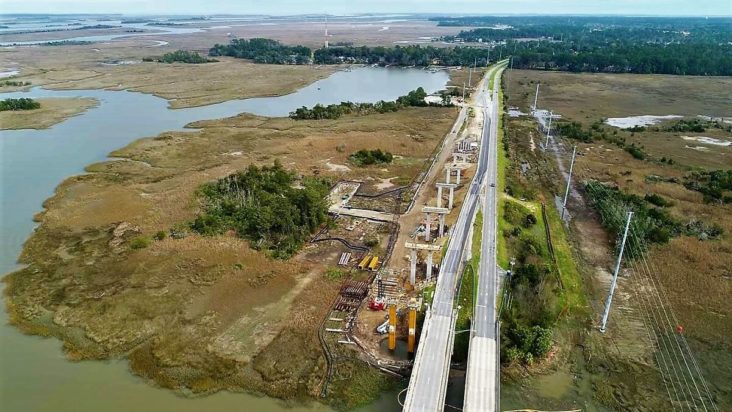
Being that our company resides near a beautiful coast, many of our clients find themselves in need of waterway surveys. If the job calls for it, we have no problem getting our feet wet. However, this is mostly unnecessary, thanks to GPS. Everything is done wirelessly, which means there is no location too outlandish.
GPS surveying is also not affected by weather conditions like snow, rain, and high or low temperatures. It functions the same way across any weather condition. The same cannot be said for the conventional way of data collection which is greatly affected by constraints like the line of site visibility between survey locations.
Surveying Consultants; The Experts in GPS
Surveying Consultants is proud to be making use of the latest technologies. We believe that this will allow us to provide our clients with enhanced accuracy and productivity.
For 30 years we have served Hilton Head, Bluffton, and the greater Beaufort areas of South Carolina. We guarantee that our knowledge and experience in land surveying along with the use of GPS will be able to produce accurate and reliable data that you need for your project.
No matter the job, we are here at Surveying Consultants are eager to get you the information you need.

