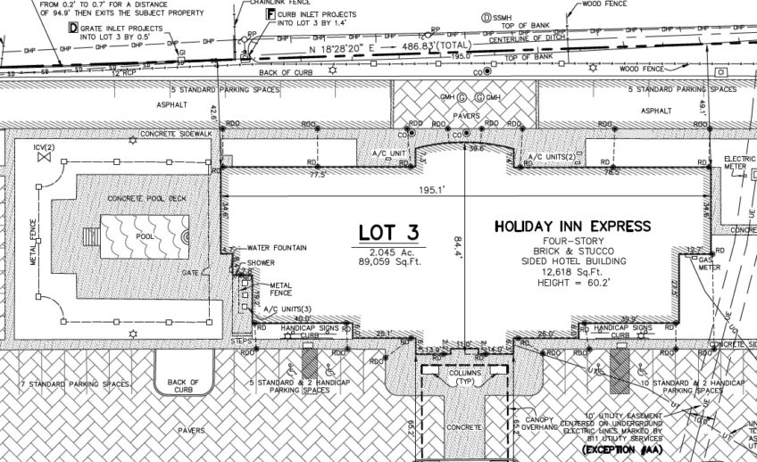
What is an Elevation Certificate Survey?
This survey provides an elevation certificate, an official document prepared by a licensed surveyor, engineer, or other qualified professional that provides information about the elevation of a building relative to the Base Flood Elevation (BFE) established by the Federal Emergency Management Agency (FEMA).
This certificate is typically required for properties located in flood-prone areas participating in the National Flood Insurance Program (NFIP). The elevation certificate includes details such as the elevation of the lowest floor of the building, the building’s flood zone designation, and information about the property’s flood risk.
Insurance companies use elevation certificates to determine flood insurance rates for the property owner, as buildings constructed at higher elevations relative to the BFE are less likely to sustain flood damage and may qualify for lower insurance premiums.

