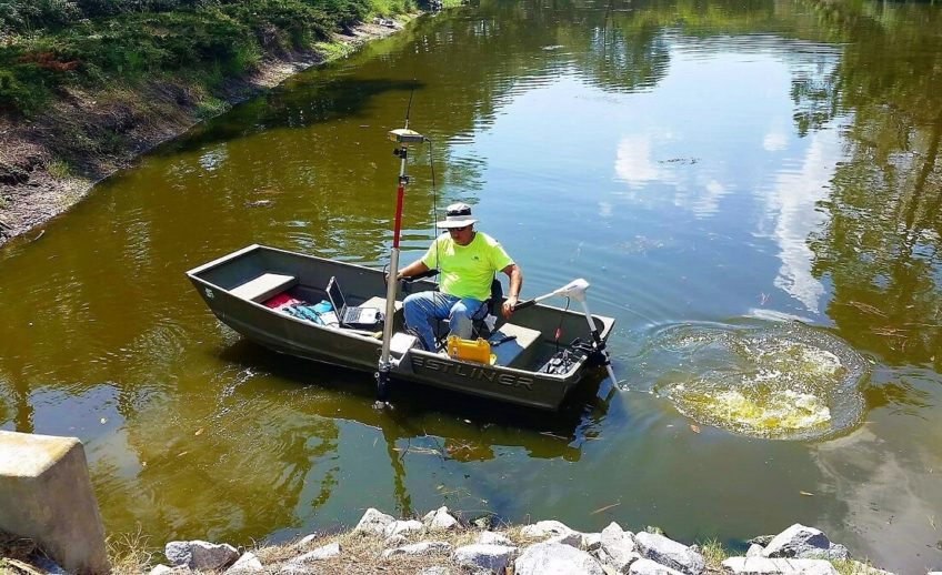
Understanding the Hydrographic Survey
The hydrographic survey is also known as a bathymetric survey. It is the science of measuring all factors beneath the water that affect all marine activities.
This survey is used in navigation safety, port construction, and marine development. It is vital in ensuring that correct marine construction design decisions are to be made right from the project inception stage.
Government entities conduct these surveys commonly for chart making and distribution or the dredging of state-controlled waters.
Commercial entities conduct large-scale hydrographic and geophysical surveying, particularly in the dredging, marine construction, oil exploration, and drilling industries.
Industrial entities, on the other hand, use these surveys to installing submarine communications cables or power.
Surveying Consultants offers excellent and highly-reliable hydrographic surveys. We can contract with both commercial and governmental entities to conduct this survey.
Contact Surveying Consultants at 843-815-3304 Today!
3 Types of Hydrographic Surveys
Hydrographic surveys are valuable data collected through sophisticated methods. Here are 3 different types of hydrographic surveys:
Pipeline Industry
Congress requires pipeline companies to inspect pipelines under navigable waterways at least every five years. This inspection is done to determine the amount of cover over the individual pipelines. The survey is also done to protect the pipelines should there be any evidence of scouring around them or the risk of shallower pipes being exposed.
Harbor and Port Surveys
Companies with docking facilities contract surveyors to conduct hydrographic surveys to determine if the dock space is deep enough to support the various types of barges and boats required to keep the facility operational.
Hazard Surveys
This type of survey checks the route of access for drilling rigs and their support vessels to determine the water depth. It also checks for any underwater obstructions. The single beam and multibeam hydrographic survey systems determine water depths; the side scan sonar system maps bottom obstructions.
Other Uses of Hydrographic Surveys:
- Seabed bathymetric surveys and digital terrain models (DTM) for navigation assessment
- Support dredging operations – pre and post surveys, and volume calculations
- Determine sedimentation levels or thickness
- Seabed habitat mapping Geophysical surveying to determine seabed sub-structure and composition
- Seabed sampling and geotechnical analysis
Hydrographic Surveyors Using State-of-The Art
Surveying Consultants has access to a range of hydrographic survey sensors, platforms, state-of-the-art technology and software, enabling us to deliver a unique, tailored data solution to your specific needs.
If you have a hydrographic project in Hilton Head, Bluffton, the greater Beaufort areas of South Carolina, and even in Savannah, Georgia, we are the best solution for you.
For surveyors that are tried and tested in working intelligently and efficiently, contact Surveying Consultants. Our office is located at 17 Sherington Dr # C, Bluffton, SC 29910. You can also reach us by phone…