What is a Wetland Delineation Survey?
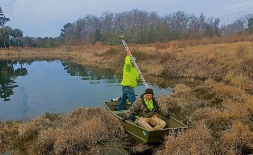
A wetland delineation survey is a specialized assessment conducted by environmental professionals to identify and delineate the boundaries of wetlands within a given area.
Wetlands are vital ecosystems characterized by the presence of water, unique vegetation, and specific soil types. Our surveyors observe and document indicators such as hydrology, vegetation, and soil characteristics. These observations are then used to delineate the boundaries of wetlands according to established regulatory criteria, such as those outlined by the U.S. Army Corps of Engineers and the Environmental Protection Agency.
Wetland delineation surveys play a crucial role in land use planning, environmental impact assessments, and regulatory compliance processes, ensuring the protection and conservation of wetland resources.