What is a boundary survey?
A boundary survey provides a detailed examination and mapping of the legal property lines and boundaries of a parcel of land. This defines the precise property boundaries of the lot and its neighboring properties.
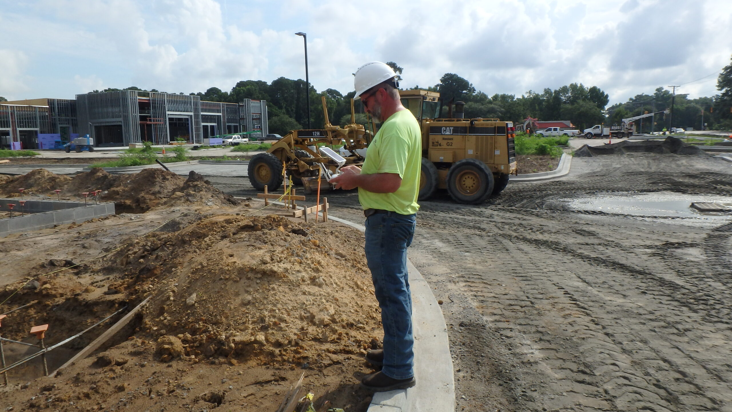
Boundary survey fieldwork involves locating and measuring physical features such as fences, buildings, and natural landmarks that define the property lines. Our surveyors use a variety of tools and techniques to establish accurate boundary lines including measurements, GPS technology, and historical records.
The resulting survey document typically includes a written description of the property’s boundaries with a plat or map showing the surveyed features and boundary lines.
Boundary surveys provide accurate and necessary details for projects such as real estate transactions, property development, construction sites, and resolving boundary disputes.